Table of Contents
Karhunkierros in Kuusamo 80km
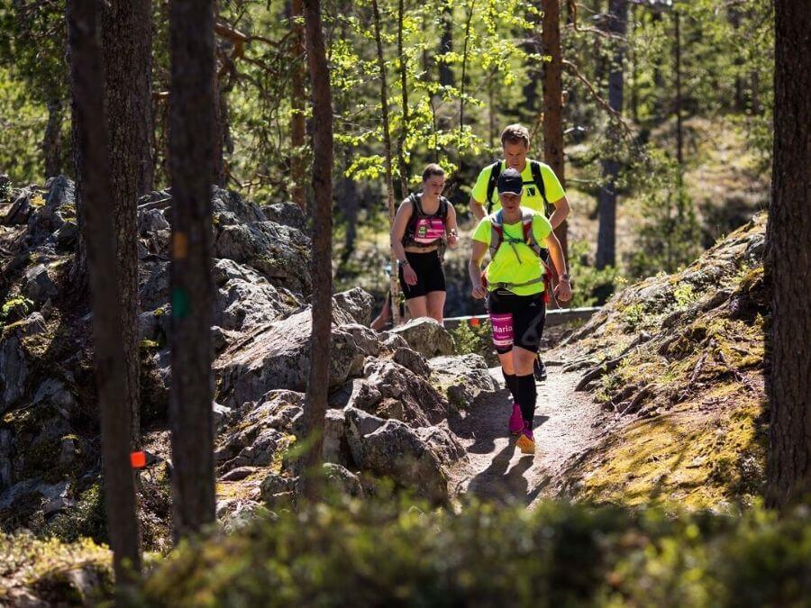
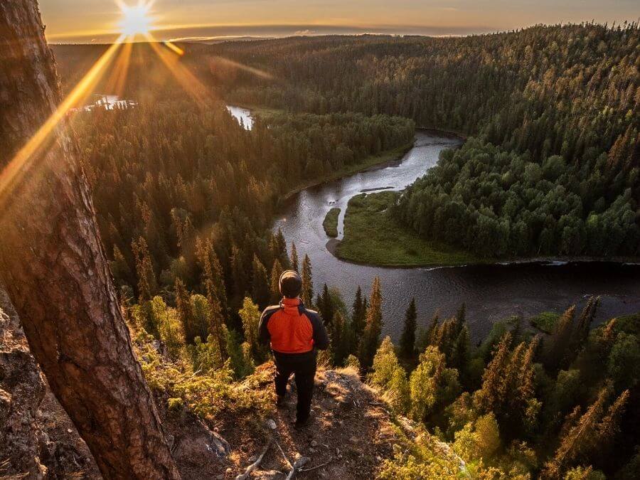
It is a good idea to start this text by telling about Karhunkierros, which is located in Oulanka National Park. Karhunkierros is only partially located in Lapland, but as this is perhaps the most famous hiking route in Finland, the 80 km long route definitely deserves a place in our list.
For many hikers, the “Bear Tour” is one of the domestic hiking destinations that must be experienced at least once in a lifetime.
Karhunkierros has become known especially for its magnificent landscapes, river and rapids that flow in the gorges, and its impressive pine forest areas. Especially the crossing points of the rivers have an atmosphere that is difficult to experience anywhere else in Finland.
The time consumed while hiking a full-length Karhunkierros depends on the level of the hiker as well as how fast you want to proceed on the route. A hike of a few days is thus quite easy to arrange in Karhunkierros.
Karhunkierros is generally spoken of as the king of all Finnish hiking trails, and this trail is best suited for a slightly more experienced hiker. For beginners and those planning a day trip, we can recommend the Pieni Karhunkierros on the same route, which is about 12 kilometers long.
Hetta – Pallas hiking route, 55 km
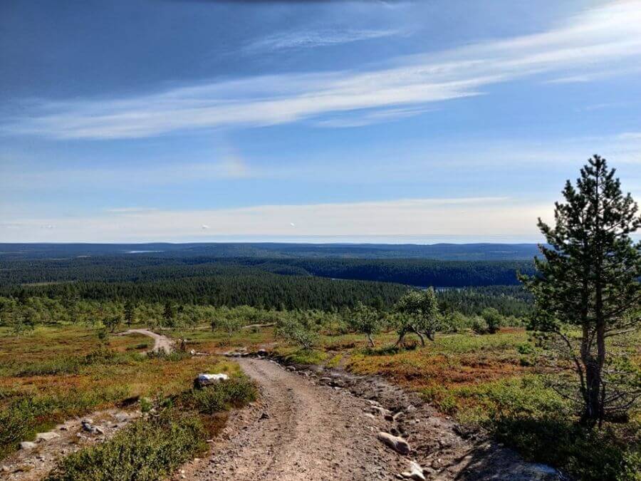
Our journey continues from Kuusamo to fell Lapland and Hetta – Pallas, where even the not so active trekker, aka me, has personal experiences. I have hiked the Hetta – Pallas hiking trail once in the autumn of 2009.
If Karhunkierros is the king of hiking trails in Finland, then Hetta-Palla could perhaps be called the ruler of fell hikes. This is a 55-kilometer route that, as the name implies, runs between the village of Hetta and Pallastunturi fell.
This route offers very beautiful fell scenery, as well as constant movement up and down. Along the route, the highest peak of the Pallastunturi, the 807-meter-high Taivaskero, is passed. In addition to good tent sites, there are well-maintained desert huts along the way. Around the middle of the route, in connection with the Hannukuru sheds, you can also take a sauna in a nice old-time wooden sauna, where you can also jump to cool off the stressed members in a very clear watered pond.
Altitude fluctuations cause their own challenges at Hetta – Pallas and the route definitely requires reasonable basic condition. Nevertheless, the terrain of the route is also well suited for novice hikers.
Halti hiking trail, 110km (Kilpisjärvi-Halti-Kilpisjärvi)
The word Halti is certainly familiar to those interested in hiking in many different ways. When it comes to hiking trails, Finland’s highest peak, Halti, offers hiking experiences closer to the sky than anything else in Finland.
Halti’s hiking trail, part of the so-called Kalottireitti, starts from lake Kilpisjärvi and runs one-way all the way to Halti’s huts, which means that the total distance is 55 kilometers. The crown of the trip can be considered the ascent to the top of Halti peak, this also called as the summit of Halti, which is worth taking in good weather. Hikers who have reached the top will get their name in a special Halti’s book. The sights from the peak are also stunning.
Various deserted and reservation huts can be found on the Halti hiking route at a comfortable density at intervals of about 10 km. In addition to crossing the top of Halti, it is also possible to experience many other great nature experiences during the hike, such as the impressive-looking Meekopahta, the very steep walls of Annjalonji and the uninhabited shores of Lake Pihtsus.
Halti’s hike is of medium difficulty and can be recommended to a slightly more experienced hiker. Even for an experienced hiker, Halti’s back and forth hike can be a trip of about a week, so it’s a good idea to be properly prepared for the hike.
Kevo canyon route, 63 km
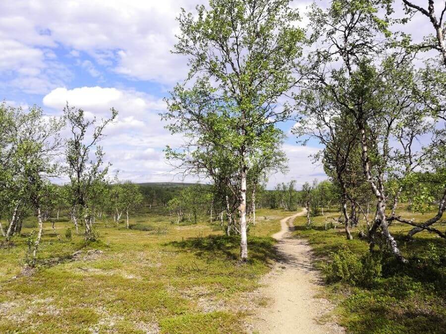
Next, we will move on to a more challenging routes and to the canyon landscapes of Kevo in Ivalo. The Kevo Canyon Trail is a 63-kilometer hiking trail that is sure to meet the needs of even the most demanding hikers in terms of their level of requirements.
The route through the Kevo Nature Park provides a handsome setting for hiking in gorge landscapes. The excursion winds its way, mainly in the valley of Kevo Canyon, but during the trip you will sometimes also hike in the open fells and in the middle of the fell birches.
The most demanding part of the route is about descending into Kevo Canyon and climbing up from there various times, which puts the condition and skills of even an experienced hiker to a test. Along the way, you can also cross the Kevojoki River several times by wading, which is why it is worth equipping this hike with waterproof equipment.
In the Kevo Nature Park, the nature of the area is very carefully protected and movement in the area is thus very closely controlled and restricted. Hiking and camping is only allowed in the marked areas, which are definitely worth exploring in advance before carrying out the hiking itself.
Saariselkä hiking trails (Urho Kaleva Kekkonen National Park)
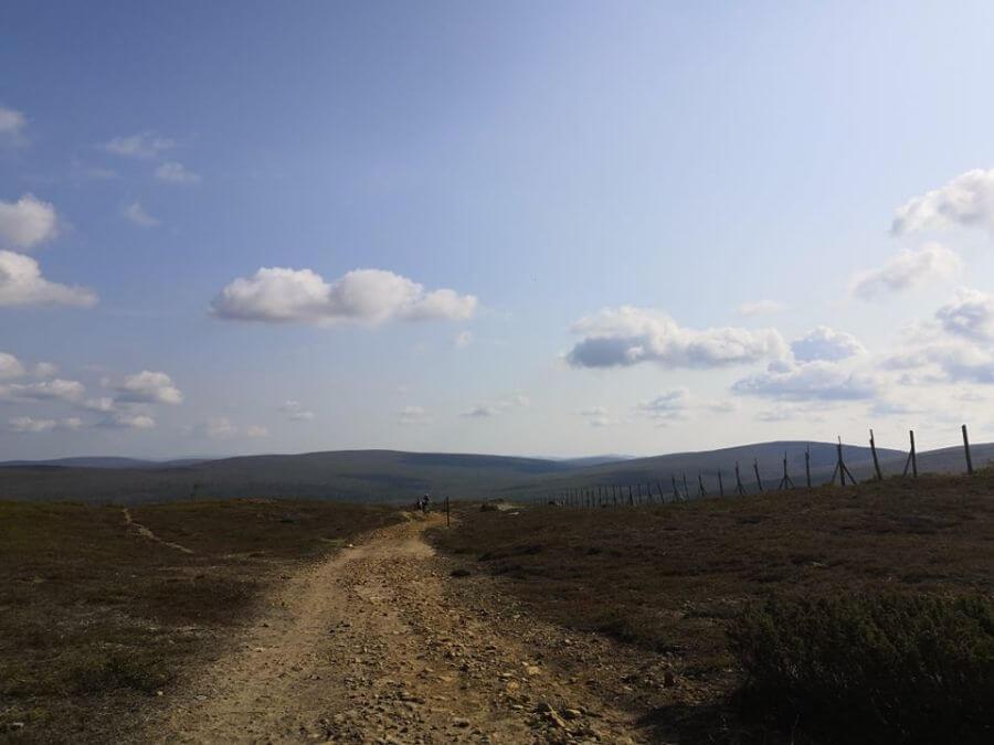
Urho Kekkonen National Park, located in Saariselkä, offers many trekking options of different lengths, which makes it a suitable destination for hikers of all levels. The shortest of the available options are ring trails a few kilometers long and the longest hiking trail can be found in Lake Luirojärvi, where it is possible to hike 70 to 80 kilometers. A good list of all the different options can be found on National Parks website’s Urho Kekkonen National Park Trails page.
Saariselkä also has the peaks of the fells, as Kiilopää, Kaunispää and Iisakkipää each offer a challenge for those who seek it. Saariselkä Hiking Trails is also one of the few hiking destinations that is completely year-round and at the same time a gateway to Finland’s most famous national park. In addition to its beautiful scenery and diverse outdoor activities, the national park area has become known for its highly acclaimed desert and reservation hut network, which also brings with it a sense of luxury that is hardly available anywhere else in Finnish Lapland.
Korouoma (Koronjää ring trail 5km and Korouoma hiking trail 20km)
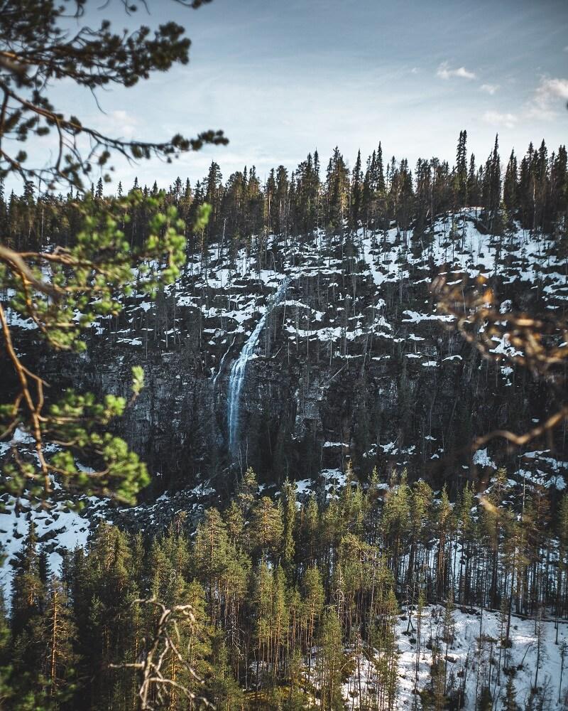
Ranua’s neighbor town Posio has a really handsome setting for year-round hiking in the canyons of Korouoma. There are two main routes, the 5 km long Koronjää day route and the 20 km long Korouoma hiking route.
Koronjää is the only glacier route in Finland where you can enjoy really wonderful glaciers both in winter and spring. During the summer, in Koronjää, attention should be paid to high cliffs and wild flowing river landscapes. Although Koronjää is only a 5 km long day trip route, it is quite a demanding trip to nature, as there is a commendable difference in altitude on the route.
The route to Koronjää runs along the old horse road and you can get acquainted with the history of the Savotta in the area with the help of the signs found on the route. Along the route you will also find three of Korouoma’s largest ice falls: Jaska Jokunen, The Brown stream and The Mammoth.
Korouoma’s longer hiking trail, on the other hand, is best suited for 1-2 day hikes. The hiking trail starts from Saukkovaara and descends from there to Korouoma. The Korojoki River, which can be found along the route, is followed upstream. The rest of the route ascends the ridges, which offer beautiful views of Posio’s clear-water lakes.
Pyhä - Luosto hiking trails
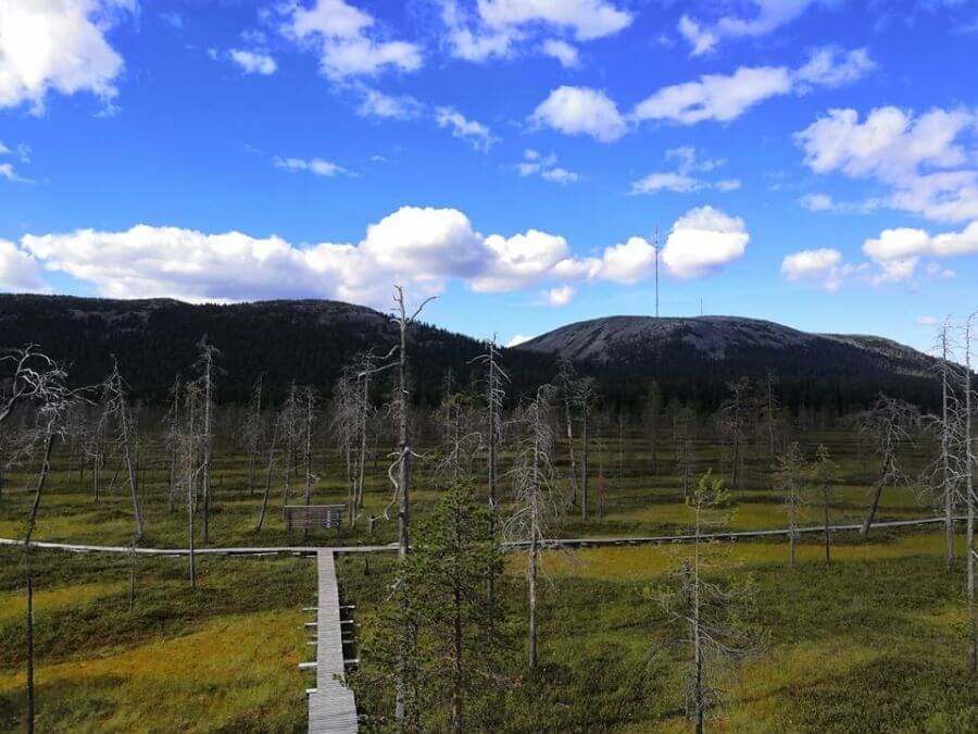
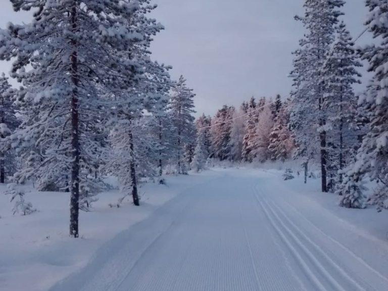
There are also many hiking trails in the area in Pyhä-Luosto National Park, which are available from a 7-kilometer ring trail to the 30 km (per direction) Pyhä-Luosto hiking trail. In addition to hiking trails, the area has a comprehensive range of e.g. route options suitable for mountain biking and snowshoeing, skiing and winter cycling in winter.
Pyhä-Luosto is located in the middle of gorges and ravines. ancient forest Sámi culture, old primeval forests, swamps, fells, gemstones and wavy stones communicating the ancient geological heritage.
The peak of the 514-meter-high Ukko-Luosto, a visit to an amethyst mine in the area and a visit to Finland’s deepest mountain gorge, the Isokuru, are some of the absolute highlights of a fairly varied visit to Pyhä-Luosto.
Going around the longest hiking trail is well suited for a few days of hiking. There are comfortable rental and desert huts in the area, which can also be booked in advance if you want to enjoy your own peace of mind when staying overnight.
The Pyhä-Luosto route options offer a comfortable choice for hikers and hikers of all levels, and in the area it is possible to take shorter day trips in addition to longer hikes.
Kaldoaivi wilderness: Sevettijärvi-Pulmanki, 60-70km and Inarinpolku - Anárašmáde, 100 km
There are two long and marked routes in the great Kaldoaivi wilderness, which are Lake Sevettijärvi – Pulmanki and Inaripolku – Anášmáde. There is also a shorter, 5.8-kilometer-long Skaidijärvi trail in the area.
The Sevettijärvi – Pulmanki hiking trail runs through the Kaldoaivi wilderness area and is 60 to 70 kilometers long, depending on the route choices. The southern end of the route runs on pine forests, but as it progresses north, the route becomes increasingly rugged and birch-focused.
Because summer thus arrives north late, rivers and streams are still flooded in the first half of June. You should go hiking in Kaldoaivi from midsummer on and the summer hiking season lasts until the beginning of October. In winter, the hiking trail is also open and marked. In this case, it is mainly suitable for skiers.
The 100-kilometer-long Inari Trail – Anárašmáde is a historic market route to Karlebotn in Norway. The southern shore of Karlebotn Varanginvuono is known as a bustling marketplace from the 17th century until the 1890s. Although the Norwegian border was closed in 1852, the route remained unofficially open during the summer. That route was forgotten for nearly 150 years until it was revived for use in hiking.
The hiking trail starts in the south from the courtyard of the Kolttie traditional house and follows the previously mentioned Sevettijärvi – Pulmangin route. The separation takes place at the Norwegian border crossing point in Aittoaivi. The northern end point of the route is located on the Norwegian side in Karlebotn, which can be reached by road via Pulmang and Näätämö. On the Norwegian side, it is worth noting that a map and a compass are absolutely necessary to follow the route, as the path is marked in historical style with stacked stones, the top of which shows the direction of the route.
Both of the longer routes in Kaldoaivi are challenging and not necessary that well suitable for novice hikers.
Riisitunturi hiking trails
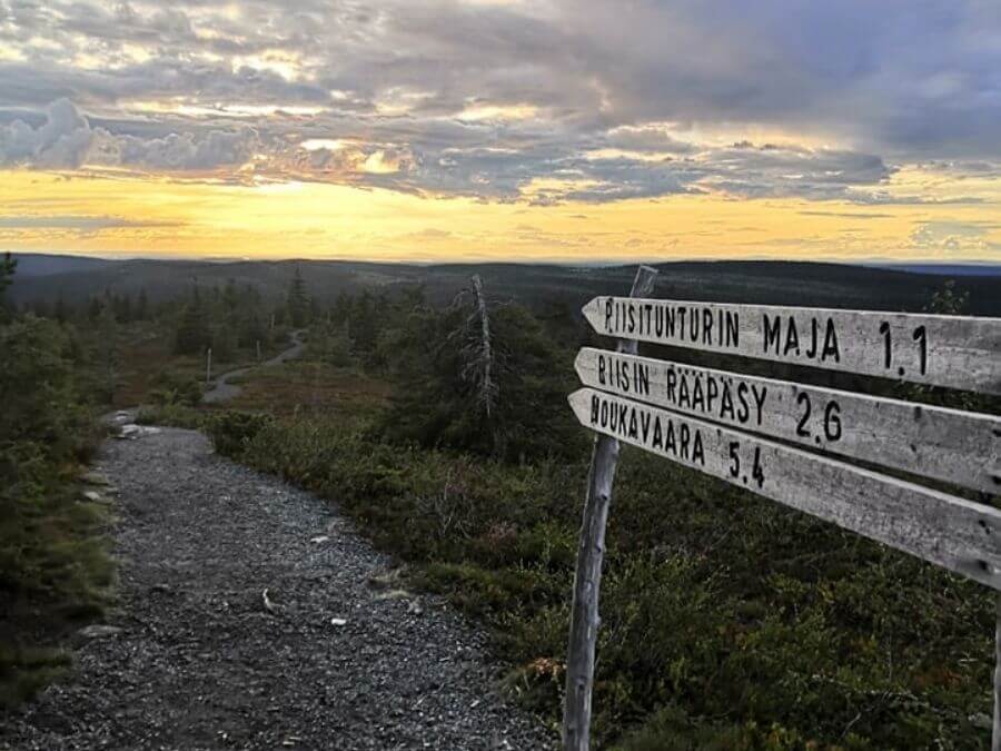
In Posio, hiking opportunities are not limited to Korouoma, but wonderful hiking trails can also be found in the Riisitunturi area. Riisitunturi National Park has rightly become popular with the Finnish hiking and trekking people not only due to its enchanting nature, but also because its fairly easily accessibility.
The atmosphere of the wilderness is easy to feel in the area and Riisitunturi is also one of the southernmost fells in Finland, so those coming from the south do not have to travel all the way north to enjoy the fell nature and atmosphere.
Riisitunturi National Park has become known for its magnificent crown snow-load landscapes in winter and summer for its bright blue gleaming Window Pond. Both of these have also been immortalized in countless landscape images.
There are several official route options in Riisitunturi National Park. The most well-known of these are the Riisin rietas (10.7 km) and Riisin Rääpäsy (4.3 km) ring routes suitable for day trips, both of which start from the Riisitunturi parking area. For more experienced hikers, there is a 26-kilometer Riisitunturi route. The shortest route found in the area is a one and a half kilometer transition to the Riisitunturi desert hut, which is well suited for e.g. for families with children.
Simojärvi and Soppana area
It would not be possible to write this blog post without mentioning any of our “own” hiking destinations. Well, the Soppana area is not included in the list of pity, but it is a very significant destination at the level of the whole country. The absolute positive aspect of the Simojärvi and Soppana area is that it is a destination that is still quite unknown to the general public, which makes it a real gem.
Simojärvi is Finland’s 50th largest lake, which enchants hikers with its clear waters and wilderness environment. Much of Lake Simojärvi’s 40 km long shoreline is included in the beach protection program, which means that its numerous golden sandy beaches are protected in their natural state.
Although the surroundings of Lake Simojärvi are excellent, especially for water hiking, it also offers a good setting for hiking and mountain biking. The hiking routes in the area are easy to navigate and the renovation of the somewhat forgotten route markings began in the summer of 2021.
The Soppana area is also part of the old-growth forest protection program, which gives the area access to really old forest areas. A significant part of this magnificent excursion destination is part of the Natura 2000 network of sites, which aims to protect biodiversity.
The routes in the Simojärvi and Soppana areas are ideal for both short day trips and longer hikes. For example, there are a total of three public sheds in the area, as well as cooking places and huts from Korvanjoki.
Get to know to Ranua and surrounding areas' hiking trails
In addition to the destinations mentioned in the list, there are also many other easily accessible hiking and trekking routes in Ranua and the surrounding areas of our locality. There are many options available that are excellent for day trips as well as for the whole family.
If you are visiting Ranua, you can also book guided hikes through us, which we organize e.g. In Auttiköngäs Riisitunturi and Korouoma, as well as on Ranua’s own hiking trails. You can get more information about these options through email or by asking our reception staff.
Sources and about the subject elsewhere: Finland Naturally | Best Hiking Routes in Finnish Lapland All Trails | Best Trails in Lapland, Finland Finland Naturally | Destinations National Parks | Destinations
